Walking in the Alpujarra
Mule paths, irrigation channels and long-distance trails link nearly every village. Here is how to choose a route.
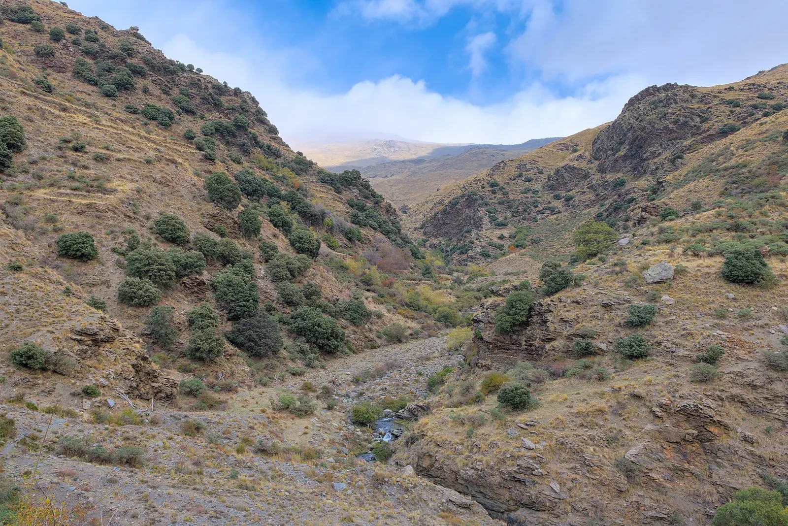
Village to village
The best introduction is to walk between villages on the old mule paths. Good examples:
- Poqueira circuit: Capileira – Bubión – Pampaneira, down to the river and back up the opposite side. Around four to five hours.
- La Tahá hamlets: Pitres – Mecina – Fondales – Ferreirola, with a loop down to the river. Two to three hours.
- Along the acequias: many villages have paths beside the irrigation channels above them, which keep more or less level for long stretches.
Long-distance trails
The GR-7 long-distance path crosses the Alpujarra from west to east. The Sulayr trail (GR-240) circles the whole Sierra Nevada at mid-mountain height. Both are waymarked with red and white stripes, and you can walk single stages between villages with accommodation.
The high mountains
The summits of Mulhacén and Veleta rise above 3,300 metres. From the Alpujarra side they are reached from Capileira or Trevélez. These are serious mountain days: no shade, cold wind, and weather that changes fast. In winter and spring the high ground is snow-covered and needs ice axe, crampons and experience.
Seasons
- Spring and autumn are the best walking seasons at village level.
- Summer is hot below about 1,200 metres; start at dawn, or walk high.
- Winter can be clear and lovely in the lower valleys, but days are short.
Safety basics
Carry more water than you think, a map or offline map app, sun protection and a warm layer. Tell someone your route. The emergency number in Spain is 112.