About the Alpujarra
A short orientation: where it is, how the valleys fit together, and the history that shaped the villages.
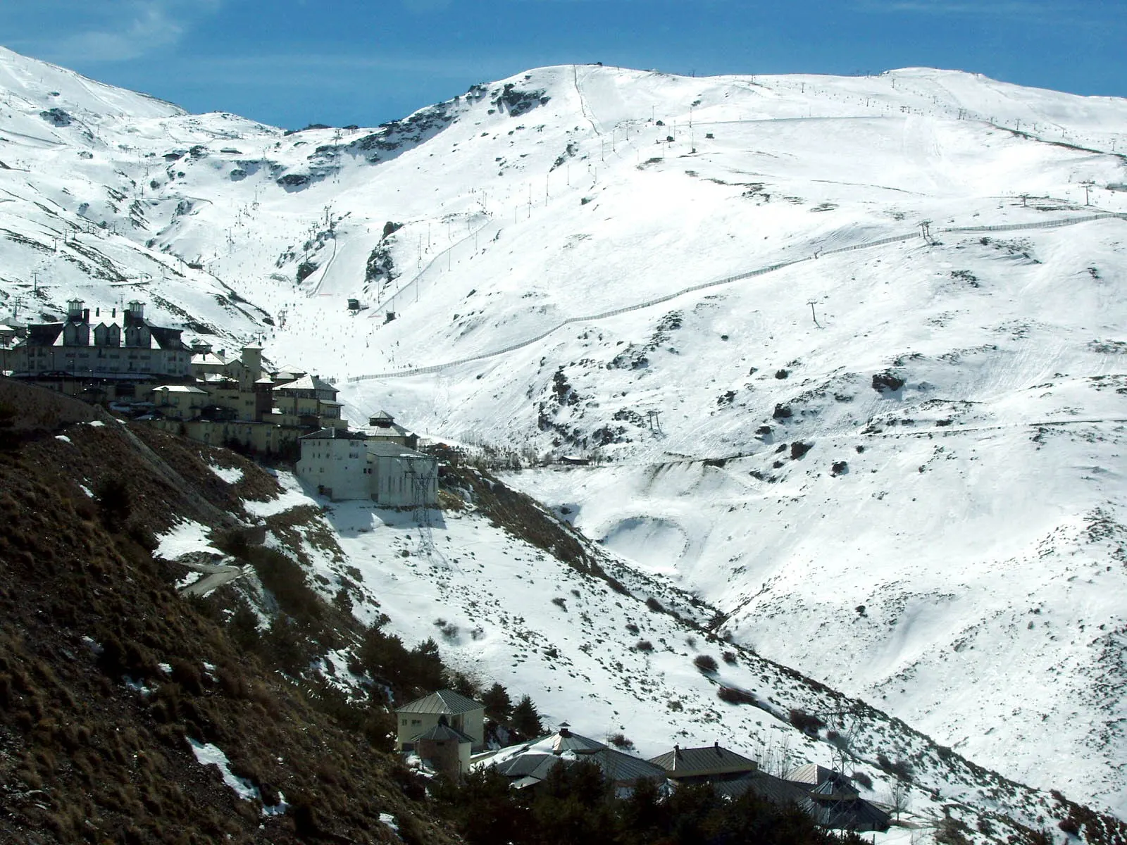
Where it is
The Alpujarra lies between two lines of mountains. To the north is the Sierra Nevada, with the highest summits in mainland Spain. To the south are lower coastal ranges: the Sierra de Lújar, the Contraviesa and, further east, the Sierra de Gádor. The rivers Guadalfeo and Andarax drain the valleys between them. Most of the region is in Granada province; the eastern part, around Laujar de Andarax, belongs to Almería.
People usually split it into three parts. The western Alpujarra (Lanjarón, Órgiva and the Poqueira gorge) is the closest to Granada and the most visited. The high Alpujarra around Trevélez, Bérchules and Yegen feels more remote. The Almería Alpujarra, around the Andarax valley, is drier and has a different character again.
A short history
The terraces and irrigation channels you see today took their shape in the centuries of Al-Andalus, when the valleys were farmed intensively for silk, fruit and grain. After Granada fell to Castile in 1492, the Muslim population, later called Moriscos, was pressed to convert and abandon its language and customs. That pressure led to the revolt of 1568–1571, centred on these mountains. After the war, most of the Morisco population was expelled from the kingdom of Granada and the villages were repopulated with settlers from other parts of Spain.
The settlers kept the irrigation systems and building methods they found, which is why the villages still look so different from the rest of Andalucía. In the twentieth century many people emigrated, and from the 1960s onward writers and travellers began to arrive. Today farming, small-scale tourism and newcomers from all over Europe share the valleys.
Protected land
The upper slopes form part of the Sierra Nevada National Park, declared in 1999, with a wider natural park around it. The area is also a UNESCO biosphere reserve. In practice this means marked trails, rules on camping and access roads, and a strong local interest in keeping the landscape as it is.