Getting there and driving
Nearest airports
- Granada: the closest, with limited routes.
- Málaga: many more flights; about two hours' drive to the western Alpujarra.
- Almería: convenient for the eastern Alpujarra.
By car
From Granada take the A-44 motorway south towards the coast and turn off for Lanjarón onto the A-348, which leads on to Órgiva. From there, roads climb to the Poqueira villages and Trevélez or continue east to Cádiar and Ugíjar.
Hiring a car makes a big difference here; buses are infrequent and many walks start between villages.
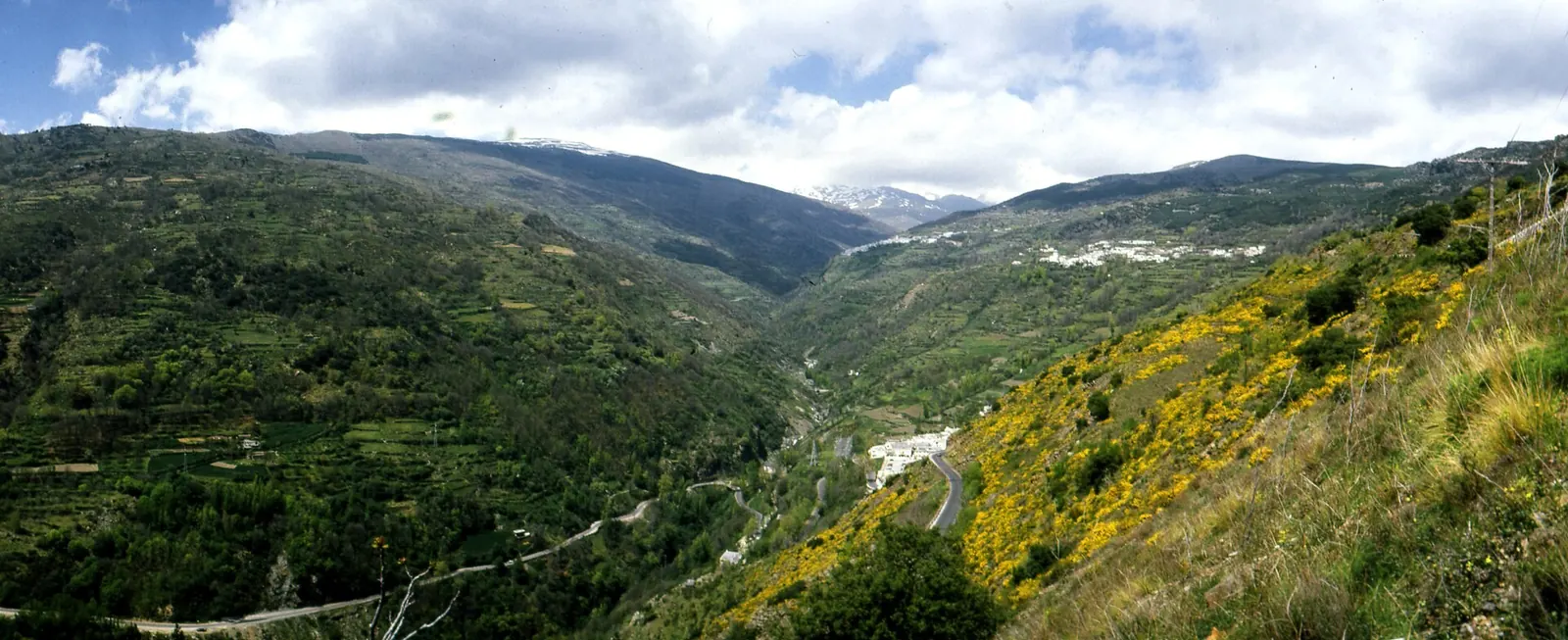
Driving the mountain roads
- Roads are paved and generally good, but narrow and full of bends; average speeds are low.
- Allow extra time: a distance of 30 km can take most of an hour.
- Watch out for goats, cyclists and delivery vans on blind corners.
- In winter, the highest roads can have ice or snow; check the forecast.
- Park at village entrances: the lanes inside are too narrow for cars.
By bus
Regular buses run from Granada's bus station to the main villages, operated by ALSA. Services are fewer at weekends and in winter, so check timetables before you travel.